Though, in my ignorance of the downtown parking situation, I had rented a car for the entirety of my first visit to Iceland, my only long drive was to the northwest peninsula, Snæfellsnes.
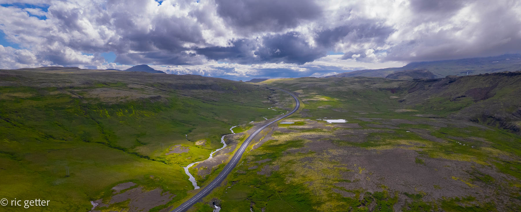
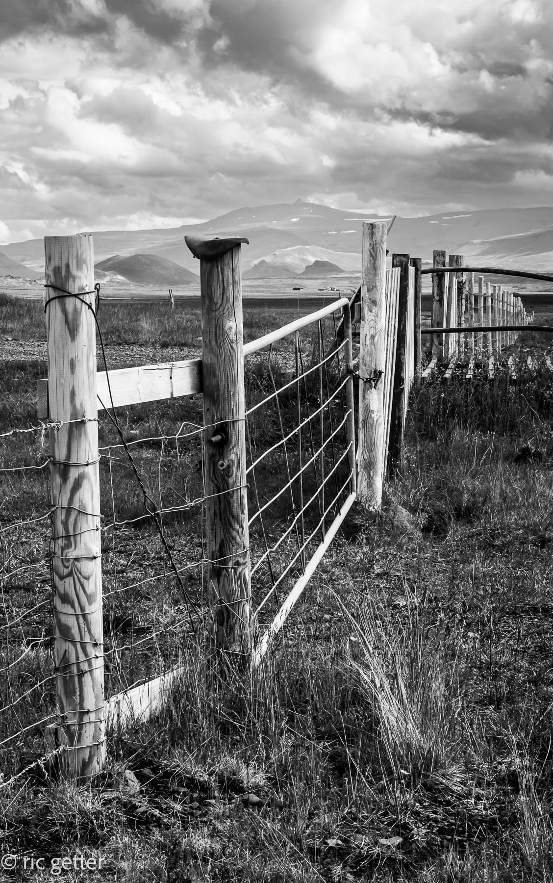
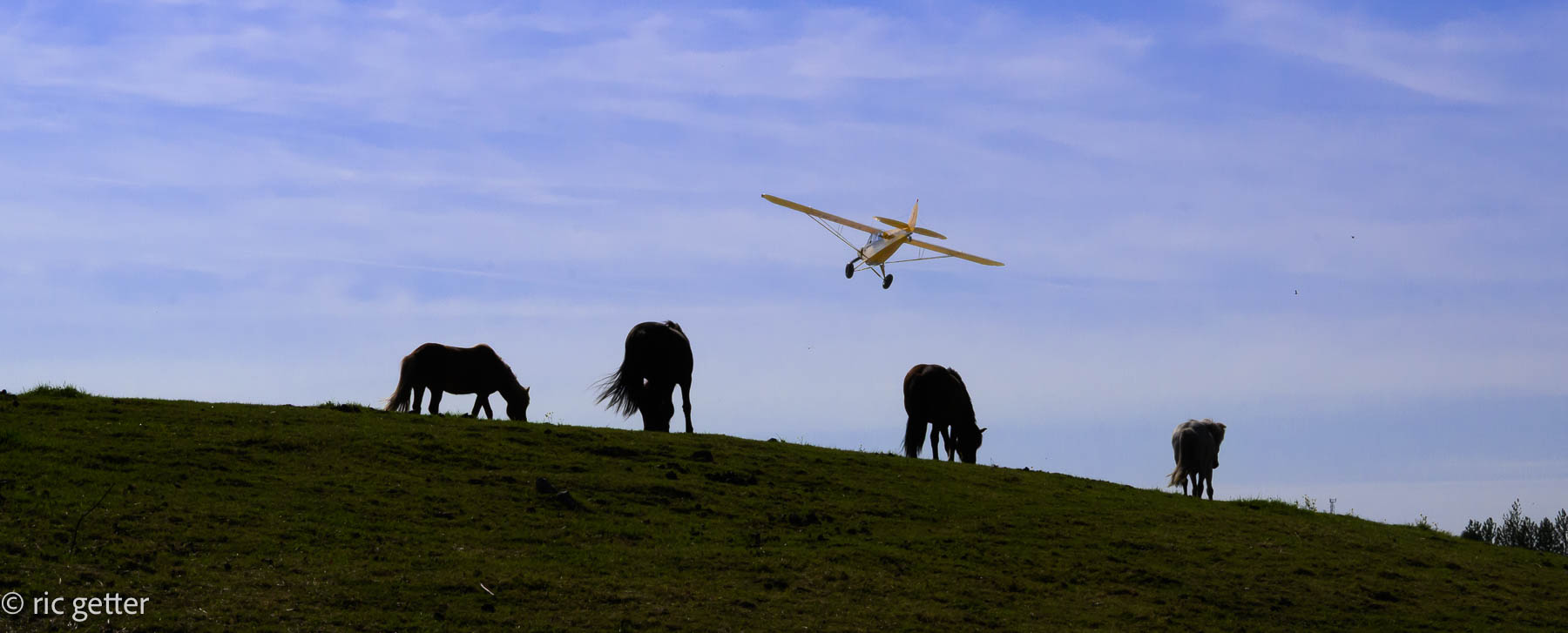
The trip was as unique as those to the south coast or around the Golden Circle. It was, in a word, more serene. There was agricultural land, some in use, some not, vast open tracts of land and old lava fields, grand mountains and small towns. There are some attractions to visit along the route, but nowhere near as many as the other trips. If you’re a photographer, especially one with a drone, however, there are a lot of reasons to stop and look around.
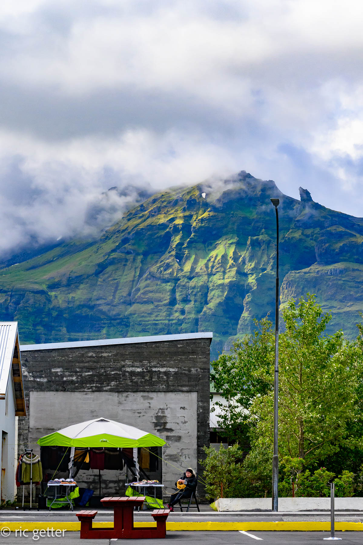
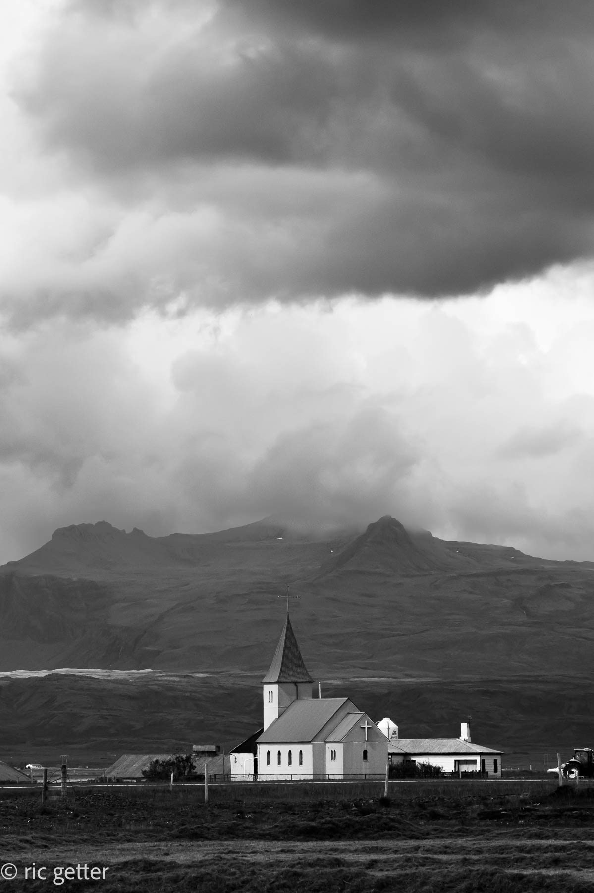
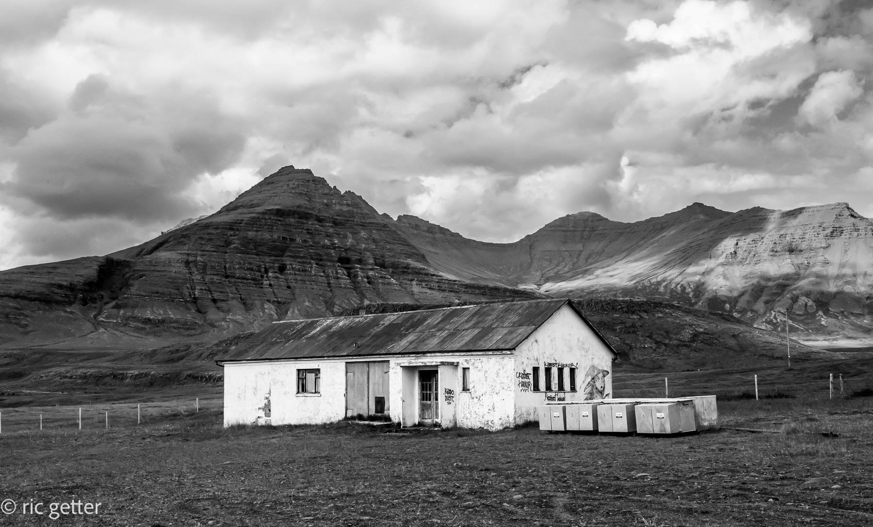
For some reason, I found the melancholy sights of the abandoned farmhouses and buildings compelling. I was curious about their history and why anyone would leave a place of such incredible beauty, with wide ranging open land backed by soaring hills and mountains.
The Magnificent Mountain
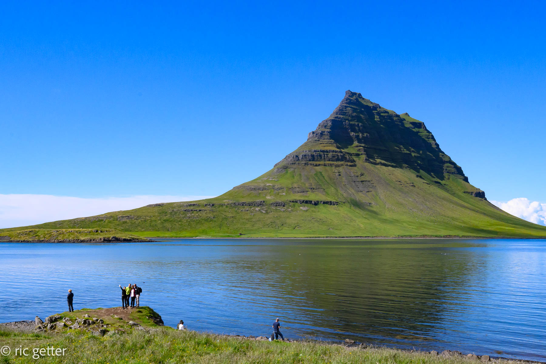
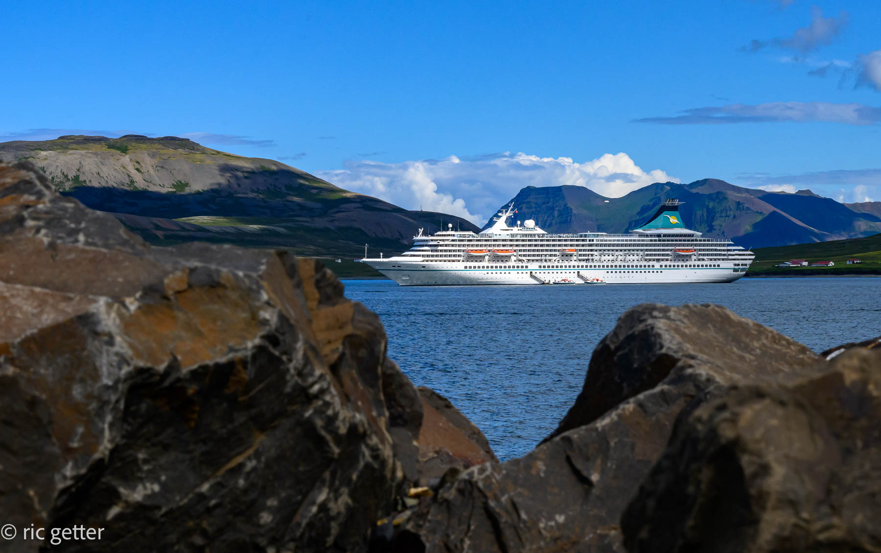
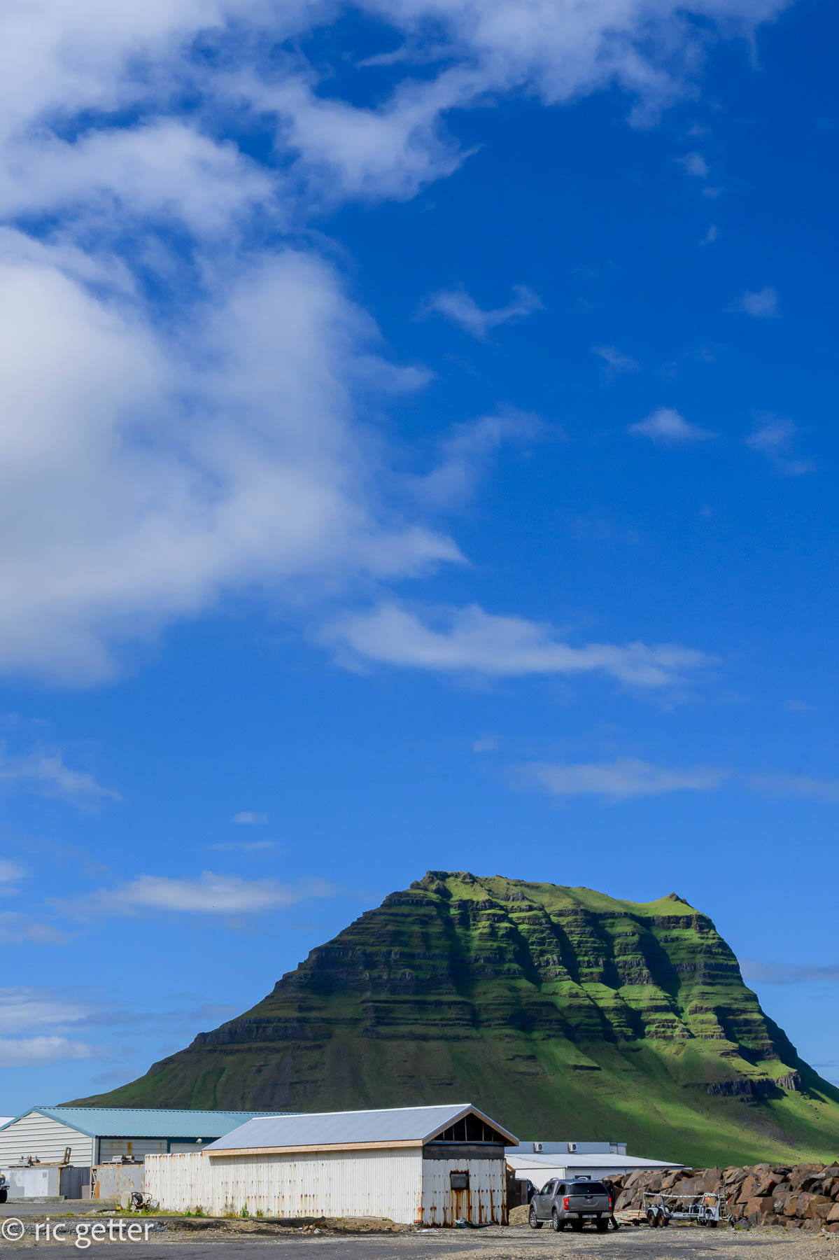
The largest town you’ll hit on the peninsula is Grundarfjörður, a fishing harbor and a popular landing site for Scandinavian cruise ships. For me, it was about time for a late lunch, and I can heartily recommend the Harbor Café. Just past the town is once of Iceland’s most famous (or, at least most photographed) landmarks, Kirkjufell (Church Mountain). At just over 1,500 feet, it’s not Iceland’s tallest mountain, but because of its location, it’s a real standout, sort of like a sub-Arctic version of Australia’s Ayers Rock. It is most beautiful at sunset, but if you’re there in the summer, that would be around midnight. Staying on the same highway (54) will loop you back towards Reykjavik. It’s a long day’s drive but worth it to get deeper sense of Iceland.
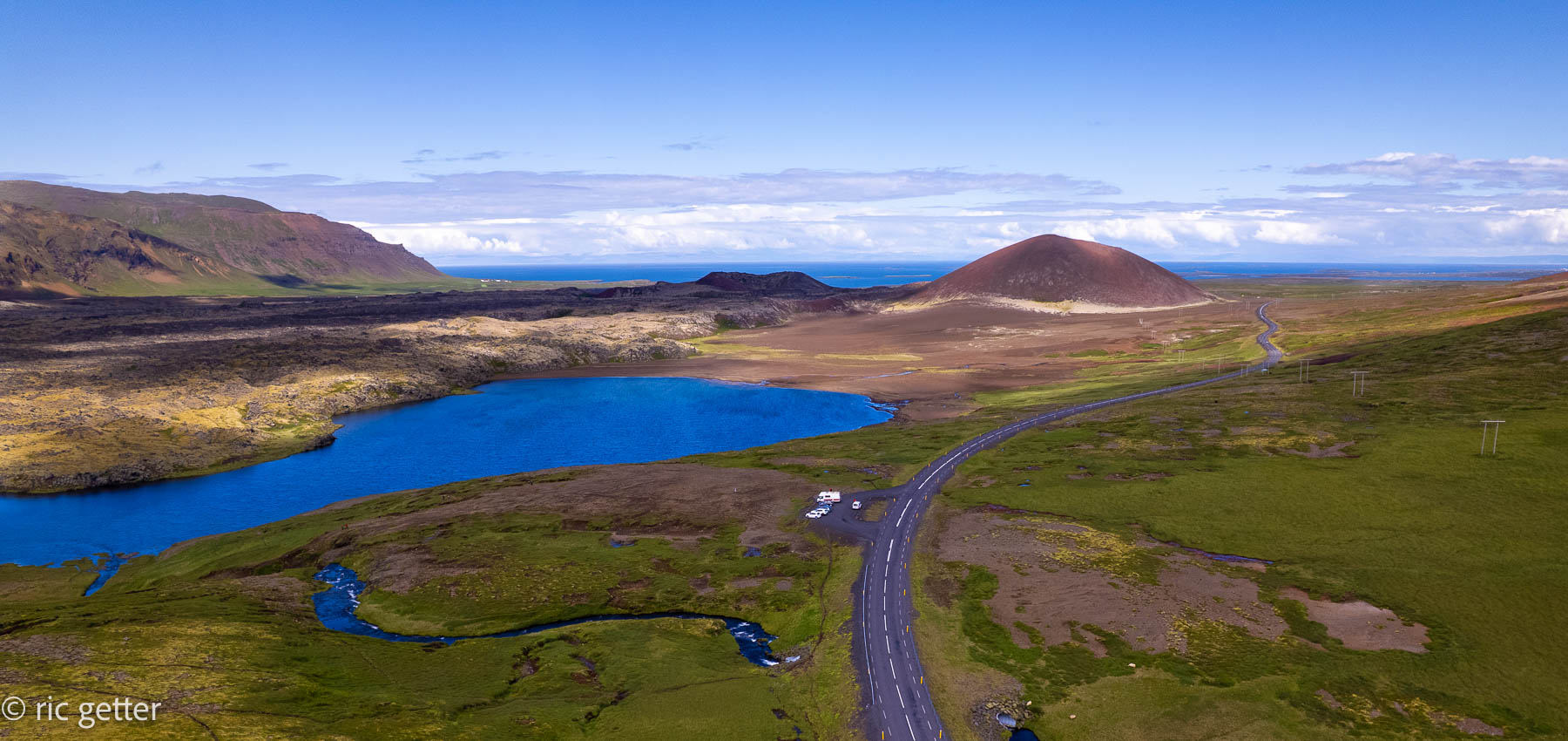
For this journey, I’m going to keep the text short and let the photos speak for themselves.
Leave a Reply